
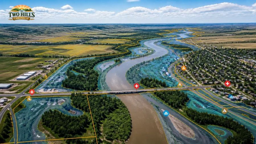
(Image generated using AI)
Alberta's government is continuing its efforts to improve flood preparedness and public safety by expanding flood mapping studies across the province, including new work that will impact the Two Hills area.
The province announced that new flood mapping studies launched this spring will produce approximately 260 kilometres of new or updated flood mapping for 10 communities. This builds on nearly 600 kilometres of mapping already underway and contributes to what government officials describe as a significant expansion of flood hazard information available to municipalities and residents.
Flood mapping plays a critical role in helping communities understand where floodwaters are likely to travel during major weather events. The information is commonly used to guide development decisions, support emergency planning and identify areas where flood mitigation projects may be needed.
According to Alberta Environment and Protected Areas, approximately 1,900 kilometres of new or updated flood mapping has been completed since 2020—more than the total completed during the previous 35 years combined.
"New and updated flood mapping helps keep Albertans safe from the potentially devastating impacts of flooding," said Grant Hunter, Minister of Environment and Protected Areas. "I'm very proud of the great work done by our government in recent years, and there's so much more to come."
The mapping process provides communities with visual data showing which neighbourhoods, roads and critical infrastructure may be vulnerable during flood events. This information helps local governments make informed decisions about land use planning, emergency response strategies and future infrastructure investments.
The Rural Municipalities of Alberta welcomed the continued investment.
"Proper monitoring and mitigation are crucial parts of effective emergency planning and response, and accurate flood mapping data will support municipalities in understanding flood risks when planning new development and investing in emergency mitigation and response capacity," said RMA President Kara Westerlund.
For residents of Two Hills and the surrounding region, the announcement includes an important local component. Technical work has now been completed on approximately 250 kilometres of mapping covering several communities, including Two Hills. Draft reports and maps are expected to be shared with local authorities this summer for review.
Following municipal feedback, the province plans to conduct public engagement before finalizing the mapping products. Completion of this phase is currently expected in the spring of 2027.
The province has budgeted more than $4 million over the next two fiscal years for flood mapping initiatives, with costs shared equally by the federal government.
Officials note that flood mapping focuses primarily on river flooding caused by high water flows, particularly during spring runoff and heavy summer rainfall events. Specialized mapping products are also developed for ice jam flooding, debris floods in mountainous regions and river channel erosion risks.
More than 80 per cent of Alberta municipalities currently covered by provincial flood maps reference the information in their local land-use bylaws, highlighting the growing importance of flood data in community planning and public safety.
As weather patterns continue to present challenges across Alberta, provincial officials say expanding flood mapping remains an important tool in helping communities prepare for future flood risks and protect residents, infrastructure and property.
Information for this article was sourced from the Government of Alberta website.
